Tuesday, August 8, 2017
Here are some recent pictures of the corn fields at the Harry farm. These were taken by John with the DJI Phantom 4 UAV. The picture clarity and detail are quite nice, and can help us to recognize disease pressure within the crop canopy. If you zoom in on these pictures, you can see the precision of the photograph.

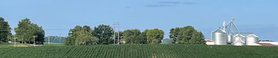
Curt’s Hill Field at the Harry Farm. Pretty good corn on this steep hillside.

Zoom in to observe the relative health of the corn leaves.

The view from above is always more accurate and revealing than what you can see just by driving by.

These corn plants at the Harry farm appear pretty healthy.
We are also experimenting with Drone Deploy. Using their technology in connection with our Phantom 4, we are trying to determine what value their system brings to our operation. To get a whole-field view of any crop location, the DD software imports our field boundary from Apex, and then uses that to construct of specific flight pattern over the field. It is neat to watch the DD take control of the drone and pilot it precisely over the field. During its flight, the camera takes images at specific intervals. Those images are uploaded to DD, and they ‘stitch’ them together to make a composite of the whole field. From that composite, a NDVI map is generated that will indicate relative plant health across the field. This can indicate where we need to examine more directly and precisely for a problem.